Mis Cotos
Mark your stands, organize your hunting days and carry your hunting ground’s map in your pocket, even without coverage.
Coming soon to the App StoreFor iPhone and iPad
Everything you need out in the field
Stands on the map
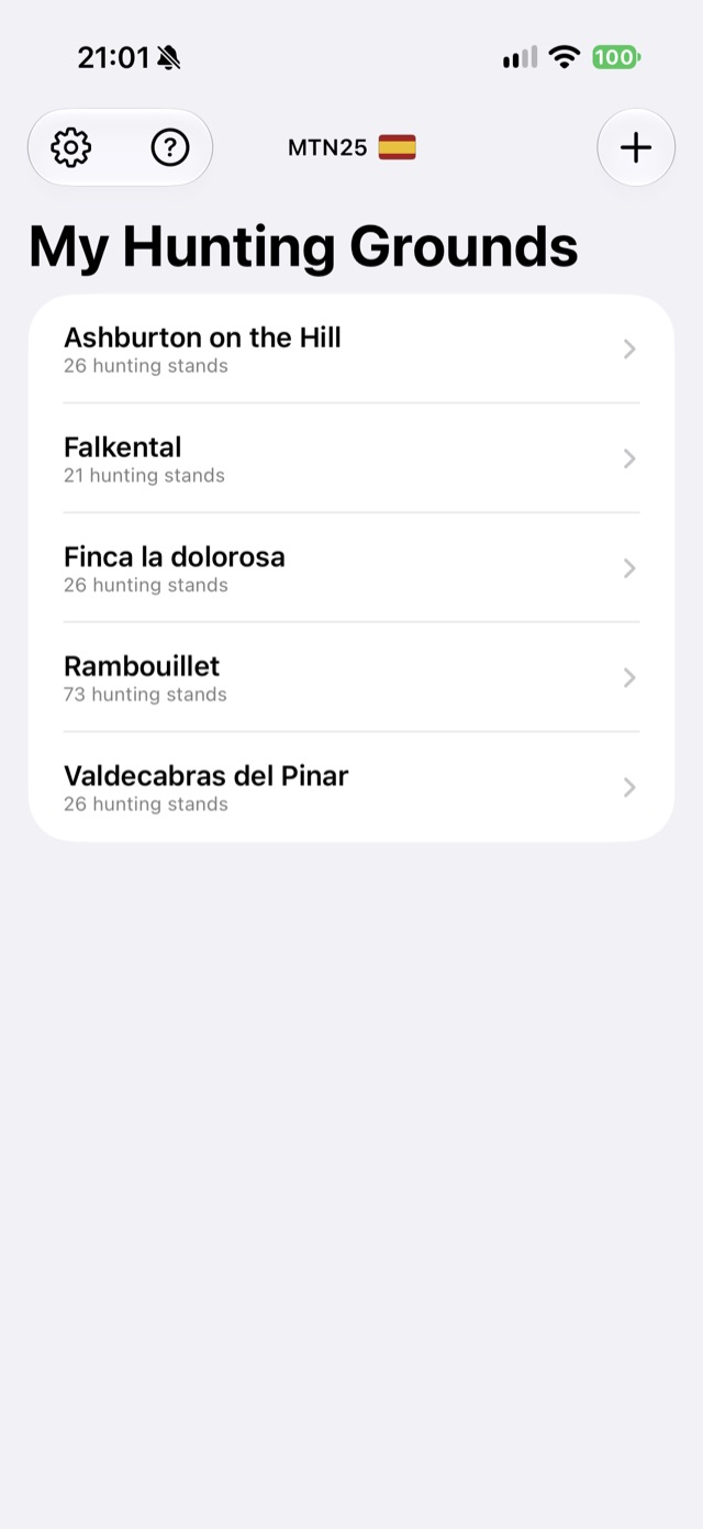
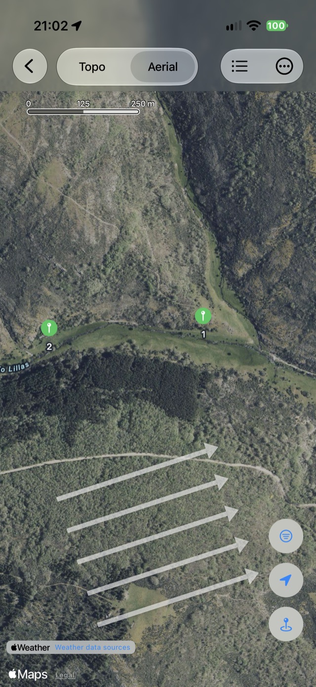
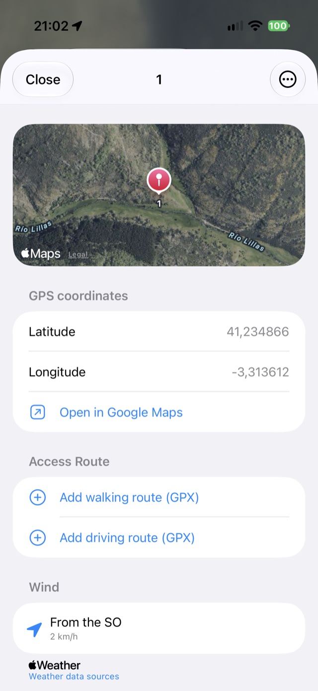
Mark each stand with its name, description and photographs. Measure distances and create a stand right where you are.
Colored zones
Group stands into named, colored zones and filter the map to show only the ones you care about.
Official topographic maps
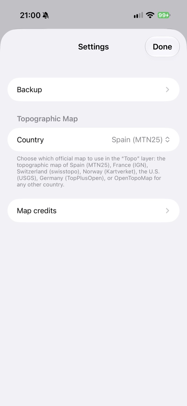
Switch between the aerial view and your country’s official topographic map: MTN25, IGN, swisstopo, Kartverket, USGS, TopPlusOpen or OpenTopoMap.
Works without coverage
Download the map of your hunting ground before heading out and use it offline.
Hunting ground boundary
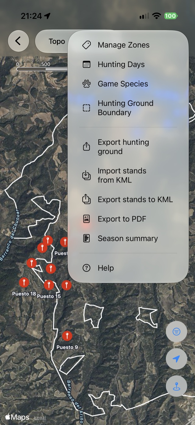
Load the perimeter from a GPX file and see at a glance how far your ground reaches.
Hunting days
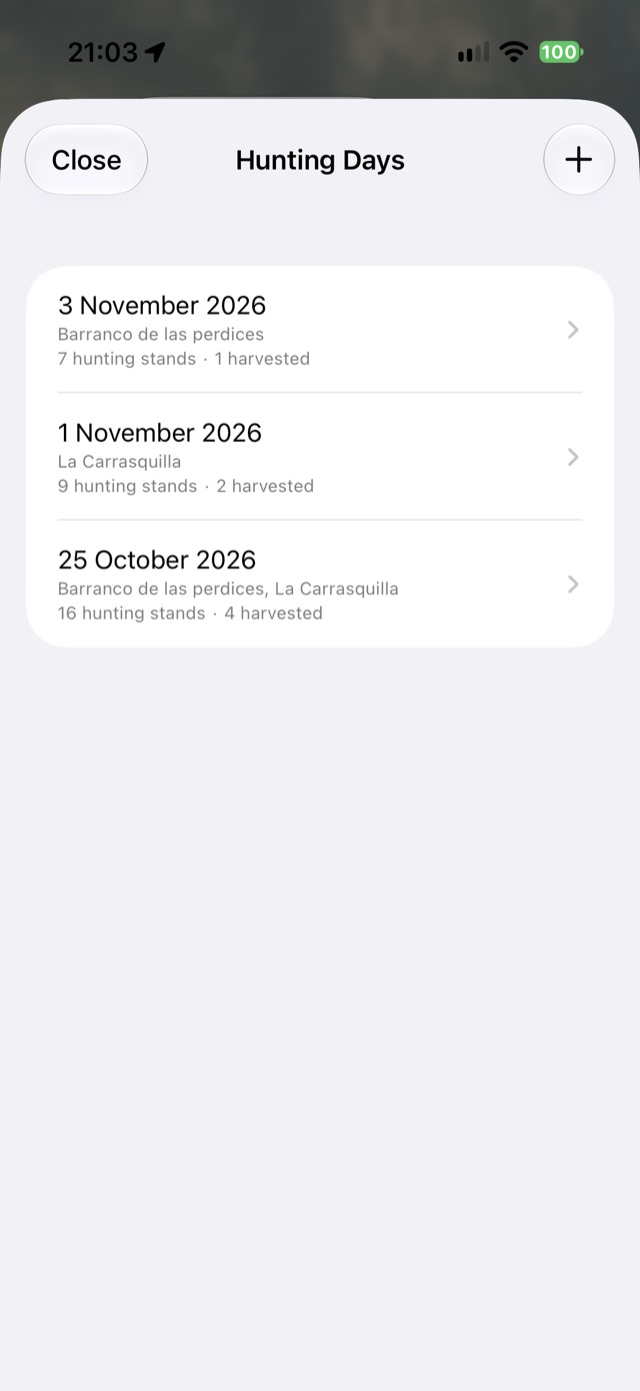
Log each hunting day: pick the occupied stands, record harvest and sightings at each one, and review the summary by species.
Your own game species
Define each hunting ground’s species list (wild boar, roe deer, red deer…) and pick from it when logging.
Access routes
Keep the walking and driving route to each stand from a GPX, see it on the map, share it or include it in the PDF.
Wind
Check the wind direction and speed at each stand, with arrows over the map.
Season summary
At the end of the season, get the list of what was seen and harvested at each stand between two dates, as a PDF or a CSV for Excel.
Export and share
Create a PDF with the map and the list of stands, export to KML, or share the whole hunting ground with someone else.
iCloud backup
Keep copies of your hunting grounds in your iCloud Drive, by hand or automatically every week.
See it in action
Your data stays yours
No accounts, no advertising and no analytics. Your hunting grounds, stands and photos stay on your device.
In your language
Español, English, Français and Deutsch.